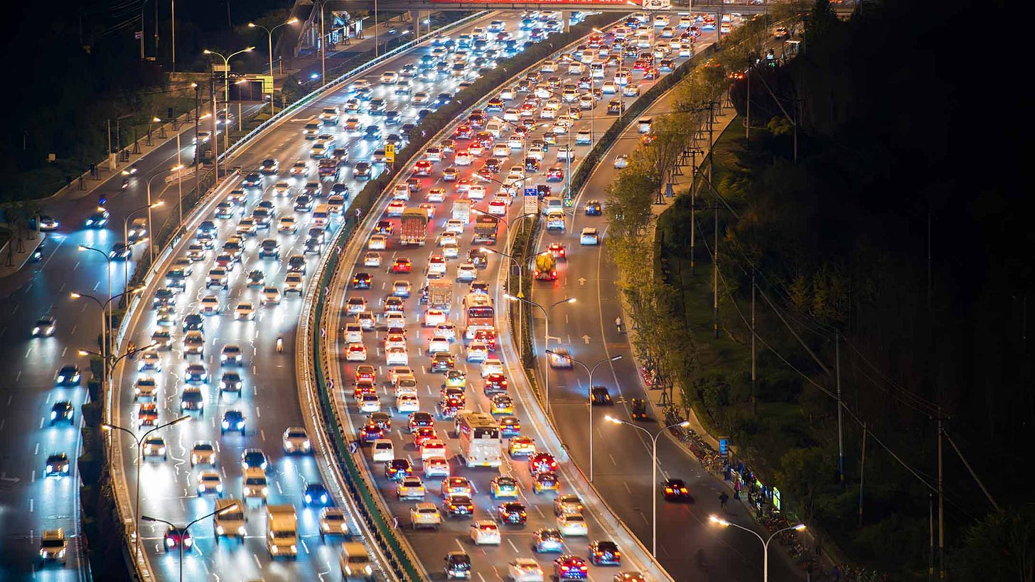
Tracking traffic with Planet data
Identifying traffic patters using machine learning and high resolution data
Thanks for reading Earthbound! In this newsletter, we talk about the latest research in earth observation, with a focus on sustainability and climate. We also provide tutorials on data science, R and Python with a focus on geospatial applications.
I’ll soon be using a lot of Planet data in my work, and one my jobs will be focused on using their data to identify changes in mobility, which led me to find a paper called "Spatial Temporal Analysis of Traffic Patterns during the COVID-19 Epidemic by Vehicle Detection Using Planet Remote-Sensing Satellite Images," which does just that using the same dataset. The following paper works through their methodology, and you can read the paper in full here.

